Enstone is a large civil parish in West Oxfordshire, England, situated approximately 15 miles northwest of Oxford city and 4 miles east of Chipping Norton. It encompasses several villages and hamlets, including Church Enstone and Neat Enstone, within the Glyme Valley.
- Why Is Enstone Considered a Key Historical Parish in West Oxfordshire?
- What Are the Defining Geographical and Structural Features of Enstone?
- How Did the Former RAF Enstone Influence Modern Local Development?
- What Amenities and Cultural Sites Characterize Enstone Today?
- FAQs About Enstone in Oxfordshire
The parish is recognized as one of the largest in Oxfordshire, covering a diverse landscape that transitions into the eastern edges of the Cotswold Hills. Historically, the area was defined by mixed arable farming and sheep husbandry, which influenced the development of early settlements. Today, the village maintains a rural character while serving as a strategic transit point along the A44 trunk road. Modern developments, including the industrial repurposing of the former RAF Enstone airfield, reflect a balance between preserving heritage and adapting to contemporary economic needs.
Why Is Enstone Considered a Key Historical Parish in West Oxfordshire?
Enstone holds significant historical importance due to its Neolithic origins, Norman-era architectural heritage, and its role as a focal point for agricultural and industrial evolution within the county of Oxfordshire from the medieval period through to the twentieth century.
The parish derives its name from the Ent Stone, a Neolithic standing stone and burial site located near Charlbury Road, which remains a scheduled monument. This prehistoric connection is complemented by the Church of England parish church of St Kenelm, which features Norman origins dating back to the 12th century. Throughout the medieval era, the estate was tied to Winchcombe Abbey, supporting extensive farming systems that utilized the surrounding fertile stonebrash soils. The transformation of these lands through enclosure acts in the 19th century permanently altered the local landscape, creating the distinct community structure observed today.
What Are the Defining Geographical and Structural Features of Enstone?
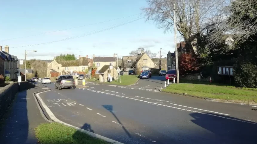
Enstone is structured around the primary villages of Church Enstone and Neat Enstone, surrounded by hamlets such as Chalford, Cleveley, and Radford. The parish lies astride the Glyme Valley, forming a vital part of the West Oxfordshire district geography.
The village geography is characterized by its strategic positioning at the intersection of long-established transit routes, specifically the road between Oxford and Chipping Norton. This location has historically facilitated trade and connectivity, transitioning from turnpikes in the 18th century to the modern A44 trunk road. The environmental landscape comprises rolling hills and river valleys, providing a habitat for diverse flora and fauna. These natural features have influenced local settlement patterns, keeping the population dispersed across various smaller clusters while maintaining a centralized administrative identity through the parish council.
How Did the Former RAF Enstone Influence Modern Local Development?
RAF Enstone, established as a Bomber Command Operational Training Unit during the Second uk/world/">World War, transitioned into a civilian aerodrome in 1947, effectively shifting the local economic focus toward light industry, aviation recreation, and professional automotive engineering.
Following its decommissioning as a military facility, the site underwent significant redevelopment. The airfield now operates as a hub for light aircraft and gliders, contributing to the local tourism and sports sectors. Furthermore, the conversion of former quarry sites and industrial units on the premises attracted high-profile automotive enterprises, including motor racing teams. This repurposing has provided sustainable employment opportunities for residents, ensuring the site remains a vital economic engine for the region while honoring its mid-century military legacy through preserved infrastructure.
What Amenities and Cultural Sites Characterize Enstone Today?
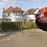
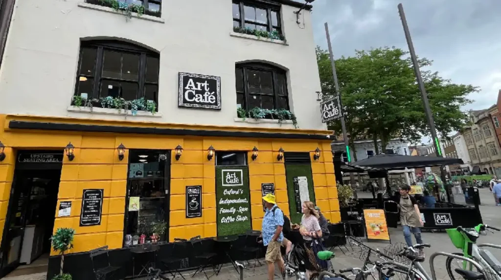
Modern Enstone provides essential community amenities including primary education, local retail, public houses such as the Crown Inn and the Artyard Cafe, and various recreational facilities that support the daily lives of residents within the West Oxfordshire administrative district.
The village hosts a primary school with roots dating back to the late 19th century, continuing a long tradition of local education. Cultural engagement is maintained through local organizations like the Women’s Institute and various sporting clubs, including football and cricket teams that compete in regional leagues. These institutions serve as social anchors for the population, fostering community cohesion. The preservation of historical sites, such as the St Kenelm church with its William Morris stained glass, ensures that the village maintains a strong connection to its artistic and spiritual past.
FAQs About Enstone in Oxfordshire
Is Enstone a good place to live for commuters working in Oxford?
Enstone is situated approximately 15 miles from Oxford, making it a viable option for those seeking a rural lifestyle with manageable access to the city. Its location on the A44 provides a direct, albeit sometimes busy, route for commuters.
Can visitors still see the Neolithic sites in Enstone?
Yes, the Hoar Stone is a scheduled monument accessible to the public. It is a portal dolmen that remains one of the most prominent prehistoric landmarks in the area, offering a glimpse into the region’s ancient Neolithic history.
What happened to the Renault F1 team’s presence in Enstone?
The Enstone site has long been associated with professional motor racing, originally hosting the Renault F1 team. The facility at Whiteways Technical Centre remains an active site for high-performance automotive engineering and motorsport development.
Does Enstone have a functioning parish council for residents?
Yes, the Enstone Parish Council actively manages local administrative matters. Residents can contact the council via their official website or the parish clerk for information regarding local planning, council meetings, and community services.
Are there walking or cycling trails around Enstone?
Are there walking or cycling trails around Enstone?
The village is set within the scenic Glyme Valley and near the Cotswold Hills, offering numerous public footpaths and rural lanes. It is popular among hikers and cyclists who wish to explore the historical landscape of West Oxfordshire.