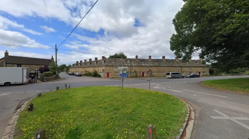
Bletchingdon Oxford is a civil parish and historic village situated in the Cherwell district of Oxfordshire, England, roughly two miles north of Kidlington and six miles southwest of Bicester, covering an official total administrative land area of 10.75 square kilometres.
- What is the history and development of Bletchingdon Oxford?
- What are the key architectural landmarks in Bletchingdon Oxford?
- What transport connections link Bletchingdon Oxford to nearby cities?
- How is the real estate market structured in Bletchingdon Oxford?
- What public amenities and educational facilities serve Bletchingdon Oxford?
- Is Bletchingdon Oxford a good place to live for commuters?
- What primary schools serve families living in Bletchingdon Oxford?
- How far is Bletchingdon Oxford from central Oxford and Bicester?
- What is the history of Bletchingdon Park and St Giles Church?
- What local amenities and shops are available in Bletchingdon village?
Bletchingdon Oxford sits on elevated ground near the River Cherwell, positioning it as a rural settlement with immediate access to Oxford city centre, which lies approximately six miles directly to the south.
The settlement occupies a geographical position between major urban nodes in Oxfordshire, benefiting from proximity to the A421 highway network, the A34 trunk road, and the M40 motorway corridor, which provides rapid road communication north toward Birmingham and south toward London.
The physical geology of the parish transitions across the Oxford Clay, Cornbrash, Forest Marble, and Great Oolite formations, providing historical limestone quarrying sites alongside fertile meadowland along the valley of the River Cherwell.
The village settlement historically organized around a central village green, which remains a key structural geographic feature alongside Bletchingdon Park, a Grade II* listed neoclassical estate spanning over 70 acres adjacent to the settlement core.
Administered under the local authority of Cherwell District Council and Oxfordshire County Council, Bletchingdon maintains its distinct rural parish status while serving as a residential satellite community for professionals working in Oxford, Kidlington, and London.
Transportation corridors crossing or bordering the parish boundaries include the B4027 road, the Oxford Canal constructed in 1790, and the Cherwell Valley railway line crossing at the western hamlet of Enslow.
The census records and modern demographic statistical estimates confirm that Bletchingdon parish accommodates over 1,000 residents across diverse age demographics, supported by local infrastructure including a primary school, a community hall, public houses, and recreational fields.
The spatial arrangement of the parish integrates small historic stone cottages, converted agricultural barns, and mid to late 20th century residential developments alongside recent community-led housing schemes.
The boundary lines of the parish extend to incorporate rural hamlets such as Enslow to the west along the river and canal crossing, as well as Heathfield to the east along the Oxford Road link.
What is the history and development of Bletchingdon Oxford?
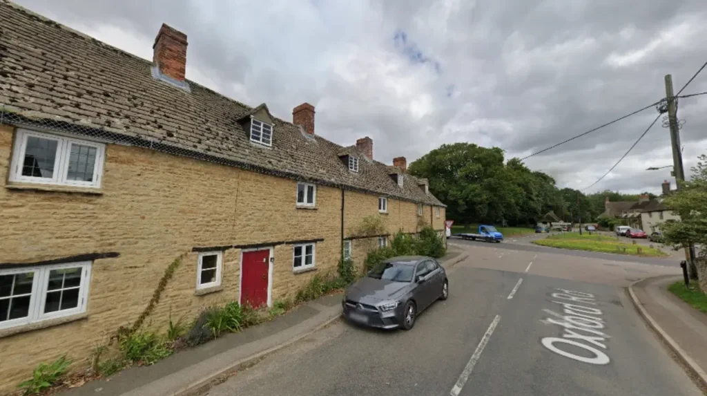
Bletchingdon Oxford possesses a documented history spanning from Anglo-Saxon land allocations through the Norman Conquest, evolving from an agricultural manor recorded in the Domesday Book of 1086 into a key Civil War fortification site and modern residential parish.
The early historical development of Bletchingdon was dictated by agricultural field systems, stone quarrying operations, and its position along the medieval trade route running between London, Worcester, and the West Midlands, known locally as the London Way.
The Anglo-Saxon origins of Bletchingdon are reflected in its Old English name, which derives from a personal name combined with the term for hill or elevated land, signifying its geographical prominence above the surrounding Cherwell valley plane.
By 1086, the Domesday survey catalogued the settlement under the ownership of Norman tenants in chief, establishing a formal manorial structure that regulated agricultural tenant farming and open field crop systems across the parish acreage for centuries.
The parish church of St Giles was established during the Norman period, featuring an Early English Gothic chancel built in the 13th century, accompanied by later structural modifications including 19th-century restoration by architect Charles Buckeridge.
During the English Civil War in the 1640s, Bletchingdon House became a crucial strategic garrison fortified by Royalist forces under the command of Colonel Francis Windebank to secure the northern approaches to Oxford, the wartime capital of King Charles I.
In April 1645, Parliamentary forces commanded by Oliver Cromwell surrounded Bletchingdon House following the Battle of Islip Bridge, leading Colonel Windebank to surrender the garrison without prolonged resistance, an act that resulted in his court-martial and execution.
Agricultural transformation accelerated in 1622 when open-field farming systems were enclosed, allowing formal land consolidation, formal estate boundaries, and the expansion of Bletchingdon Park, which altered the original layout of the village green.
Industrial expansion in the 18th and 19th centuries saw the opening of the Oxford Canal through Enslow in 1790, followed by the opening of the Great Western Railway Oxford to Banbury line in 1850, connecting local quarrying industries directly to regional fuel and stone markets.
The 20th and 21st centuries saw Bletchingdon transition from an economy dominated by tenant agriculture and limestone extraction into a residential community characterized by heritage conservation efforts, updated civil infrastructure, and modern housing integration.
What are the key architectural landmarks in Bletchingdon Oxford?
These architectural structures demonstrate local building traditions ranging from medieval ecclesiastical stone masonry to 18th-century Palladian neoclassical estate architecture and traditional vernacular Cotswold-edge stone cottage design.
The Church of St Giles stands as a principal architectural focal point within Bletchingdon Park, featuring a 13th-century Early English chancel, a 15th-century western tower, and a Victorian north aisle added during restorations in the late 1860s.
Bletchingdon Park House, designed in the late 18th century by architect James Lewis, represents a prominent example of Palladian neoclassical architecture, constructed with ashlar limestone and set within a 70-acre landscaped parkland setting.
The village core showcases numerous Grade II listed residential properties constructed primarily during the 17th, 18th, and early 19th centuries, utilizing local rubble stone with stone slate or thatched roofing styles typical of the Cherwell district.
The historic Blacks Head public house and surrounding village structures exhibit historic stone masonry techniques that rely on Great Oolite limestone quarried from nearby parish quarries that operated actively until the early 20th century.
At Enslow, within the parish boundary, the stone-built Enslow Bridge crosses the River Cherwell, featuring multi-arched masonry engineered in 1814 to accommodate heavy turnpike stagecoach transport between Chipping Norton and London.
The modern Bletchingdon Village Hall and Community Centre represents contemporary architectural development, built using modern sustainable construction methods while visually incorporating local stone to maintain stylistic alignment with older parish structures.
Recent residential developments within the village have adhered strictly to Cherwell District Council planning guidelines, mandating natural limestone facades, timber window frames, and slate roofing to preserve the architectural cohesion of the historic village conservation area.
These combined structures establish a distinct visual identity for Bletchingdon Oxford, serving as physical documentation of architectural trends across six centuries of Oxfordshire building history.
What transport connections link Bletchingdon Oxford to nearby cities?
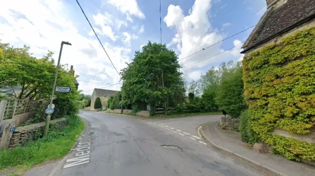
Bletchingdon Oxford is connected to regional transport networks via the B4027 road, the nearby A34 dual carriageway, the M40 motorway, and rail services operating from nearby Tackley, Oxford Parkway, and Islip railway stations.
These transportation routes provide direct road and rail links for commuters traveling south into Oxford city centre, north to Bicester and Banbury, and southeast toward Greater London and the M25 corridor.
The primary vehicular access route through the parish is the B4027 road, which intersects Bletchingdon and connects directly to the A421 highway network and the A34 road at Islip and Peartree interchange.
The A34 trunk road, situated less than three miles from the village, acts as a primary arterial corridor linking Bletchingdon residents to the M40 motorway at Junction 9, as well as south to the M4 motorway and Newbury.
Public transport bus services operate through Bletchingdon, providing daily commuter connections to Oxford city centre, Kidlington, and surrounding rural villages, managed under regional transit authorities.
Rail passengers benefit from proximity to Oxford Parkway station, located approximately four miles south in Water Eaton, which offers direct Chiltern Railways services to London Marylebone with journey times under 60 minutes.
Additional rail access is provided via Islip station on the Oxford-to-Bicester line and Tackley station on the Cherwell Valley line, providing regional connections to Banbury, Coventry, and Birmingham.
Active travel infrastructure includes regional cycle paths along the Oxford Canal towpath at Enslow, allowing long-distance cycling routes directly into central Oxford, Wolvercote, and Banbury.
Pedestrian rights of way, including historic footpaths established by public decree in 1795 across Bletchingdon Park, maintain active pedestrian connectivity between rural residential streets and outer parish farmland.
The combination of motorways, trunk roads, passenger rail hubs, and regional bus networks renders Bletchingdon Oxford a logistically accessible rural village for regional commuting and commercial transport.
How is the real estate market structured in Bletchingdon Oxford?
The real estate market in Bletchingdon Oxford is composed of high-value historic period properties, stone cottages, converted agricultural structures, mid-century family houses, and recently constructed sustainable residential housing developments.
Housing valuations in Bletchingdon reflect strong demand driven by low housing supply, strict green belt conservation regulations, and proximity to major employment hubs in Oxford, Kidlington, and Science Vale.
Residential property in Bletchingdon falls primarily under the administrative planning authority of Cherwell District Council, which maintains detailed conservation rules across the designated village conservation area to limit suburban sprawl.
Period properties built from natural stone carry premium valuations due to historical significance, architectural character, and large private plots, frequently attracting buyers seeking rural homes near Oxford academic institutions.
The Duchy of Cornwall and local development trusts have contributed to controlled modern housing extensions in Bletchingdon, integrating affordable housing allocations alongside market-rate family homes to sustain demographic diversity.
Rental housing supply within Bletchingdon remains limited, with private rentals consisting largely of renovated stone cottages, modern detached executive houses, and equestrian properties across the wider parish countryside.
Property values in Bletchingdon consistently average higher than general UK national averages, tracking closely with wider North Oxfordshire property market trends due to the village’s desirable school catchment areas and transit links.
Energy efficiency standards for new residential builds in Bletchingdon emphasize heat pump installations, solar panel integration, and high thermal efficiency insulation to align with Oxfordshire net-zero carbon targets.
The stable real estate market makes Bletchingdon a primary target for property investors, long-term homeowners, and relocating professionals seeking rural village living within six miles of Oxford city boundaries.
Strategic planning controls ensure that future housing growth in Bletchingdon prioritizes brownfield infill, high architectural design standards, and the protection of surrounding countryside vistas.
What public amenities and educational facilities serve Bletchingdon Oxford?
Bletchingdon Oxford is served by core local amenities including Bletchingdon CE Primary School, a village hall, public houses, recreational sports fields, local parish churches, and nearby commercial centers in Kidlington.
These educational, social, and civic facilities support daily family life within the village while maintaining direct integration with broader Oxfordshire public service networks and healthcare facilities.
Primary education is delivered within the village at Bletchingdon Church of England Primary School, an institution offering primary education integrated with modern classroom spaces, outdoor learning areas, and sports facilities.
Secondary education options for Bletchingdon residents include state comprehensive secondary schools in nearby Kidlington and Bicester, alongside prestigious independent private schools located within Oxford city proper.
The Bletchingdon Village Hall serves as a central hub for community meetings, indoor sports activities, social clubs, nursery groups, and local parish council administrative functions.
Recreational amenities include the village sports ground, which provides football pitches, tennis courts, a children’s play area, and open green space managed by the Bletchingdon Parish Council.
Local commercial services in the parish include historic dining public houses such as The Blacks Head in Bletchingdon and The Rock of Gibraltar located along the Oxford Canal at Enslow.
Comprehensive retail shopping, banking, pharmacy, and medical primary care services are accessed in Kidlington, situated two miles south, or Bicester, located six miles northeast.
Healthcare coverage is provided by National Health Service general practitioner surgeries in Kidlington and Islip, supported by major tertiary healthcare centres including the John Radcliffe Hospital in Headington, Oxford.
Local utility infrastructure includes high-speed fiber broadband networks, modern electricity grid connections, and updated water supply management systems maintained by regional utility providers.
Is Bletchingdon Oxford a good place to live for commuters?
Bletchingdon Oxford offers an excellent location for commuters working in Oxford, London, or the Midlands. The village sits two miles from Kidlington and six miles from Oxford, providing fast access to the A34, M40, and Oxford Parkway rail station. Residents enjoy quiet rural village living while maintaining quick transport links to major commercial and academic employment hubs.
What primary schools serve families living in Bletchingdon Oxford?
Bletchingdon Church of England Primary School provides primary education directly within the village in modern facilities. Secondary students typically commute to nearby comprehensive secondary schools in Kidlington or Bicester. Families also have straightforward access to top-rated independent private schools located across Oxford city.
How far is Bletchingdon Oxford from central Oxford and Bicester?
Bletchingdon is located approximately six miles north of central Oxford and six miles southwest of Bicester. Driving times to both destinations generally take between 12 to 20 minutes depending on traffic along the A34 or B4027 roads. Regular local bus services and nearby train stations offer alternative public transport options.
What is the history of Bletchingdon Park and St Giles Church?
Bletchingdon Park features a Grade II* listed Palladian mansion built in the late 18th century set within 70 acres of parkland. St Giles Church dates back to the 13th century and sits within the park grounds, accessible via public footpaths. Both sites hold rich historical significance, including Civil War history involving Oliver Cromwell and Royalist forces.
What local amenities and shops are available in Bletchingdon village?
Bletchingdon features essential community amenities including a primary school, modern village hall, sports pitches, and local public houses. While the village offers quiet residential living, major supermarkets, healthcare surgeries, and extensive retail shops are conveniently located two miles away in Kidlington.